Menu
Mountains
Mountain ranges
Treks
My treks
Tourist stamps
Passport stamps
Timetables
Panoramas
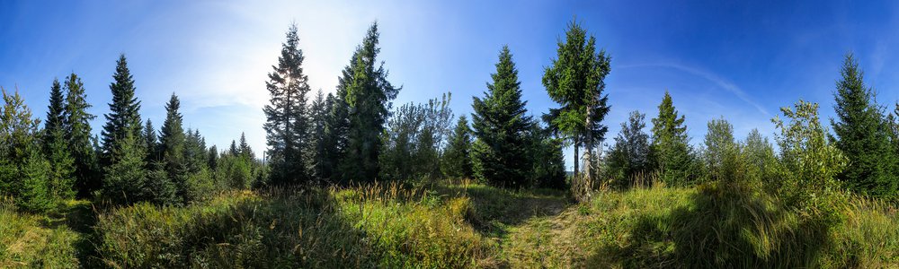
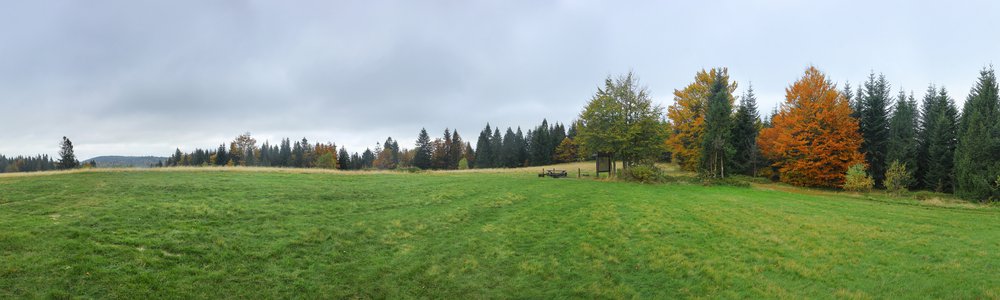
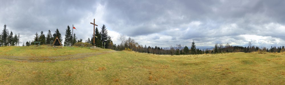
360° Panoramas
Panoramas map
Photography
TOP
Mountains
Story
Nature
Transportation
Textures
Civilisation
Maps
My maps
Ukrainian Carpathians map
Aragats map
Mount Süphan map
Damavand map
Borzhava map
Eastern Bieszczady map
Blog
All blog posts
Mountains
Contact
Contact
About rugala.pl website
Me
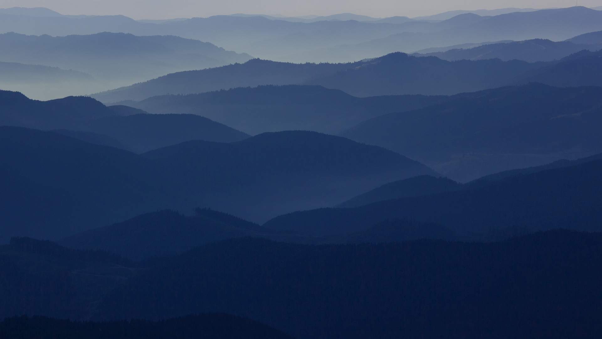
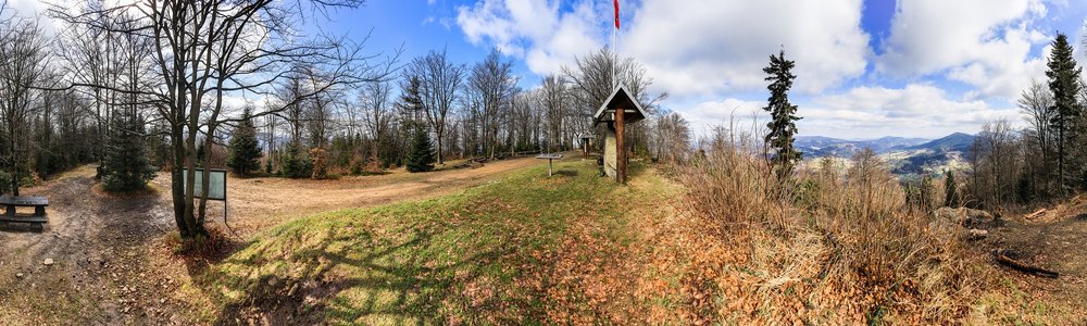
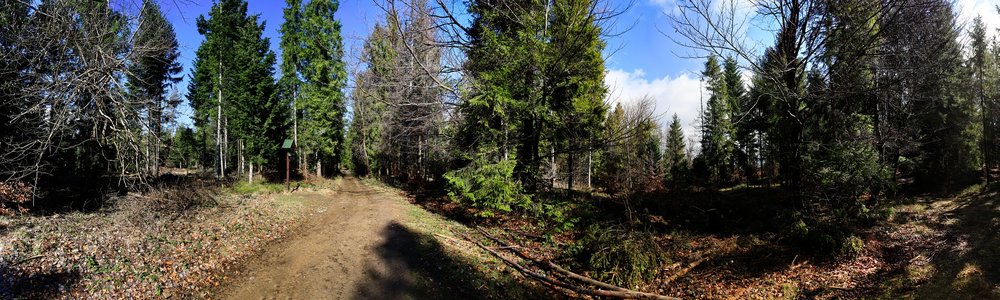
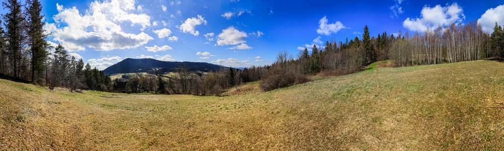
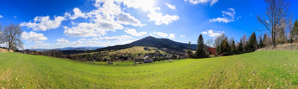
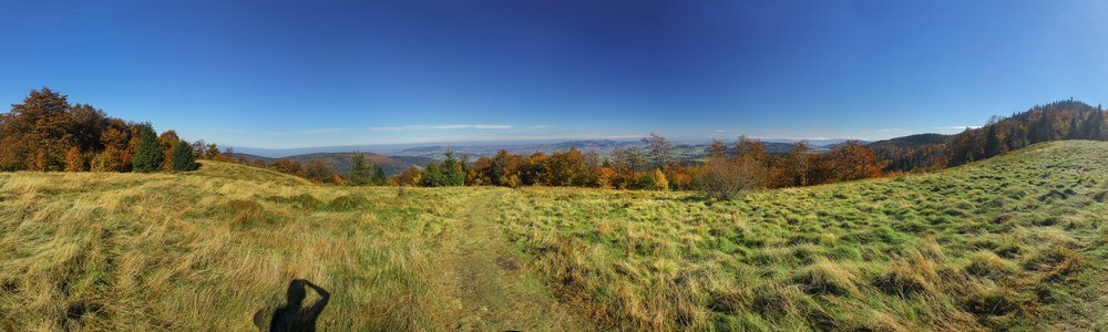
Barnasiówka -
566 m
❤
0
When?
November, 2018
Countries:
Map
Mountain ranges:
Wieliczka Foothills
Nearest panos (9)
Hikes (1)
Comments
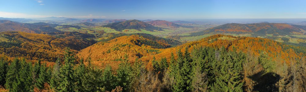
Szczebel - 977 m
18.9 km
southeastwards
Poland | Island Beskids | 360°
Mała Góra - 883 m
19.7 km
southeastwards
Poland | Island Beskids | 360°
Bieńkowa - 708 m
20.6 km
southeastwards
Poland | Island Beskids | 360°
Over Glisne Pass - 658 m
20.8 km
southeastwards
Poland | Island Beskids | 360°
Kiełek - 960 m
30 km
southwestwards
Poland | Orawa-Jordanów Foothills | 360°
Łopień - 961 m
32 km
southeastwards
Poland | Island Beskids | 360°
Leskowiec - 922 m
32 km
westwards
Poland | Little Beskids | 360°
Polana Wyżnikówka - 1082 m
34 km
southeastwards
Poland | Island Beskids | 360°
Mogielica - 1170 m
35 km
southeastwards
Poland | Island Beskids | 360°
Barnasiówka Hills
November, 2018
1 day | mountain
Leave a comment...
Notify me if someone replies and subscribe to the newsletter
Submit
Nearest panos (9)
Hikes (1)
Comments

 Map
Map


Leave a comment...