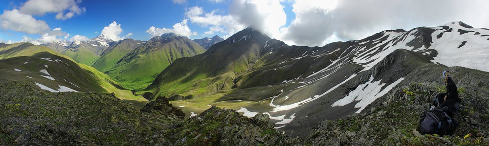
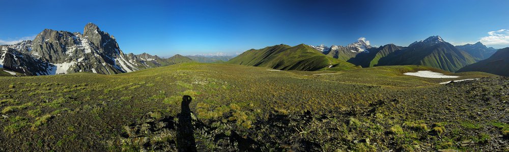
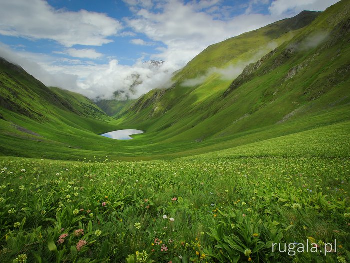
Shatili (შატილი)
Countries:

 Map
Map


Peaks:
-
Karati — 2912 m
Rivers, streams:
-
Argun
rus. Аргун, gruz. არღუნი
Buildings:
-
Wieże obronne w Szatili
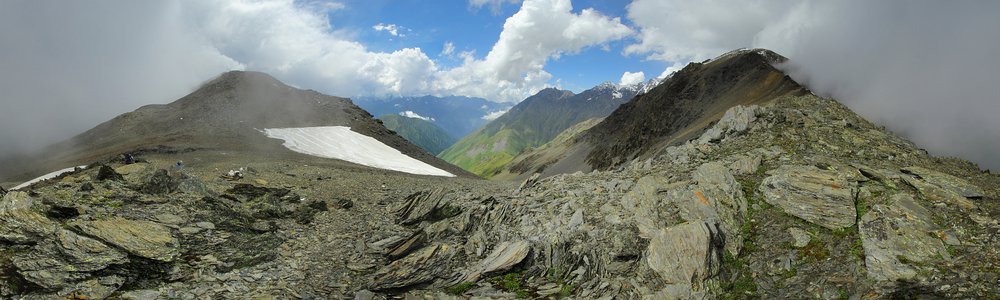
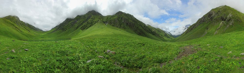
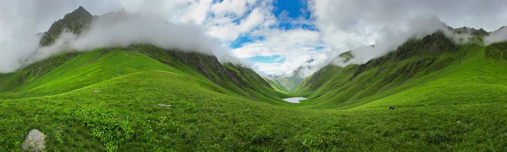
Kaukaz (Кавказ, კავკასიონი, Qafqaz)
")
")
Leave a comment...