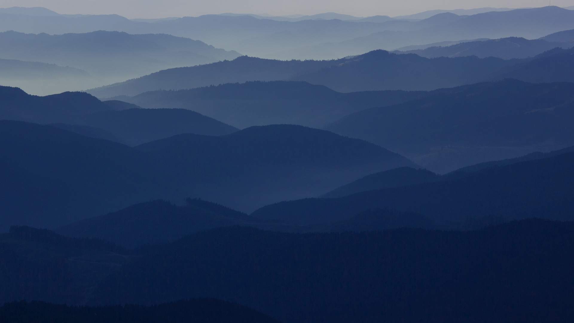
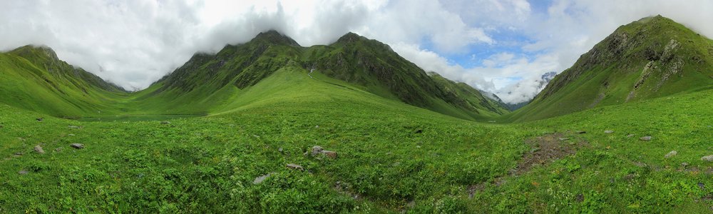
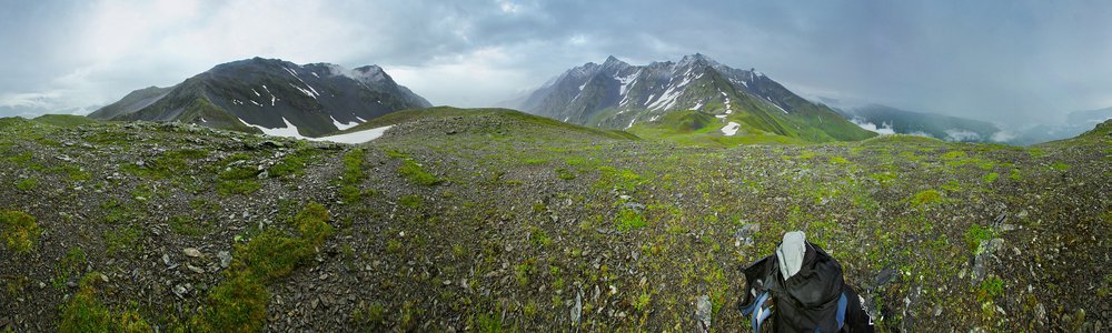
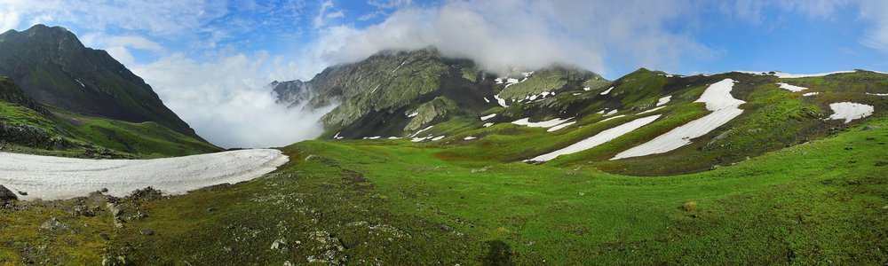
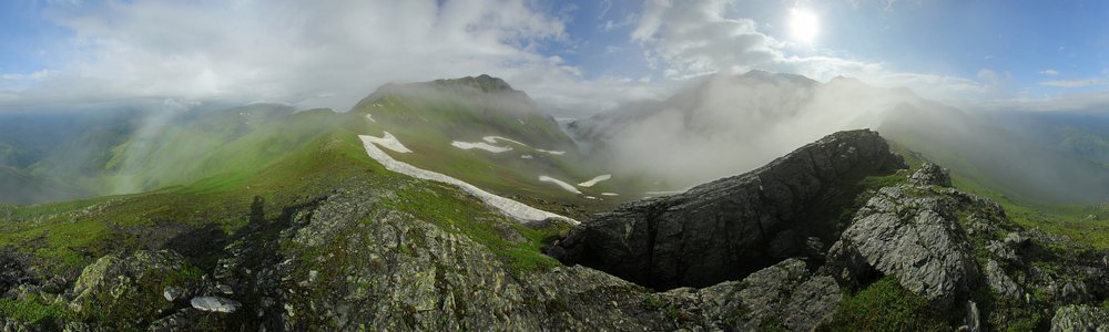
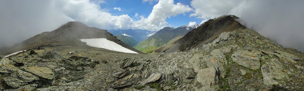
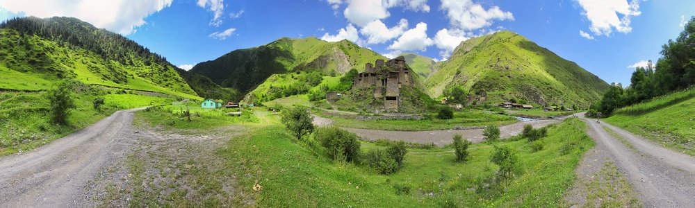
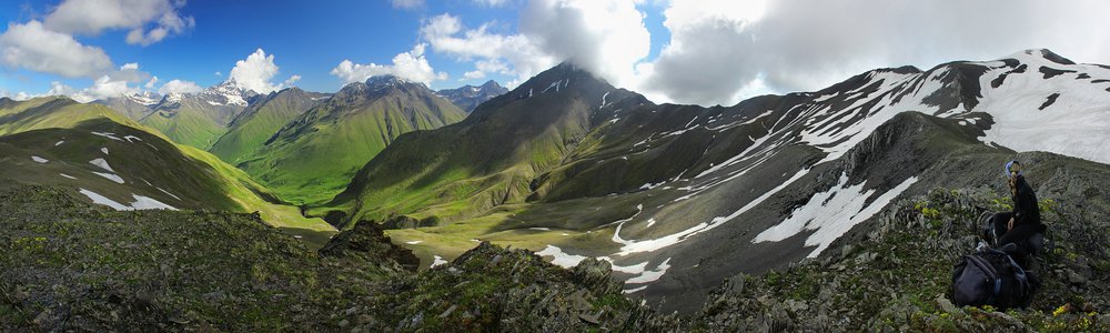
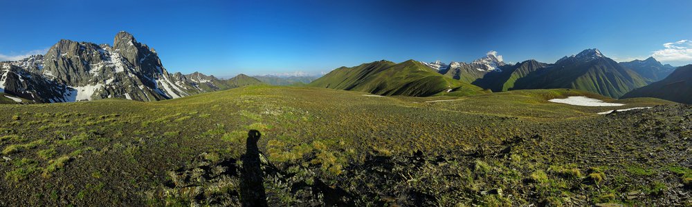
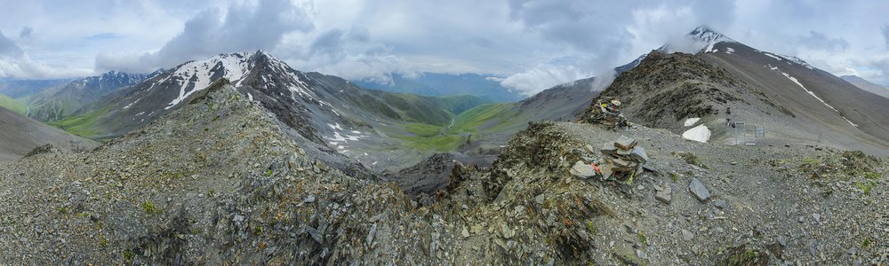
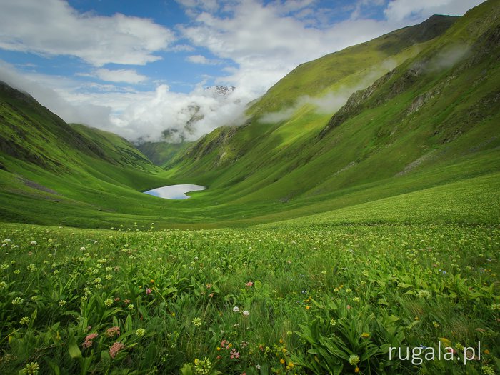
Menu
Treks
My treks
Tourist stamps
Passport stamps
Timetables
Mountains
Mountain ranges
Panoramas
360° Panoramas
Panoramas map
Photography
TOP
Mountains
Story
Nature
Transportation
Textures
Civilisation
Maps
My maps
Ukrainian Carpathians map
Aragats map
Mount Süphan map
Damavand map
Borzhava map
Eastern Bieszczady map
Blog
All blog posts
Mountains
Contact
Contact
About rugala.pl website
Me
Tanie Valley
❤
4
When?
June, 2014
Countries:
Map
Mountain ranges:
Caucasus
Nearest panos (9)
Panorama objects (3)
Hikes (2)
Comments (1)
Tanie Lake (ტანიეს ტბა) - 2232 m
1.10 km
northwards
Georgia | Caucasus | 360°
Tanie Pass - 3047 m
3.38 km
southwards
Georgia | Caucasus | 360°
Camping in the Kalotana Valley
4.01 km
southwestwards
Georgia | Caucasus | 360°
Kalotana Pass (Kalotanisghele) - 2978 m
4.40 km
southwestwards
Georgia | Caucasus | 360°
Isartghele Pass - 3486 m
5.01 km
northeastwards
Georgia | Caucasus | 360°
Shatili (შატილი)
13.1 km
eastwards
Georgia | Caucasus | 360°
Chaukhi Pass - 3277 m
17.5 km
southwestwards
Georgia | Caucasus | 360°
Near the Chaukhi Pass - 3225 m
17.9 km
southwestwards
Georgia | Caucasus | 360°
Atsunta - 3431 m
24.8 km
southeastwards
Georgia | Caucasus | 360°
Peaks:
- 3764 m
Passes, saddles:
Tanie Pass (ang. Tanie Pass) - 3047 m
Lakes:
Tanie Lake (gruz. ტანიეს ტბა) - 2232 m
From Caucasian peaks to Persian deserts
June/July, 2014
41 days | journey, mountain
Across Khevsureti and Tusheti
June/July, 2014
15 days | mountain
8 years, 2 months ago
Marysia
Co za kolory!!
Leave a comment...
Notify me if someone replies and subscribe to the newsletter
Submit
Nearest panos (9)
Panorama objects (3)
Hikes (2)
Comments (1)
8 years, 2 months ago
Marysia
Co za kolory!!
Leave a comment...