18 February 2015
Adam Rugała

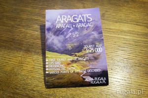
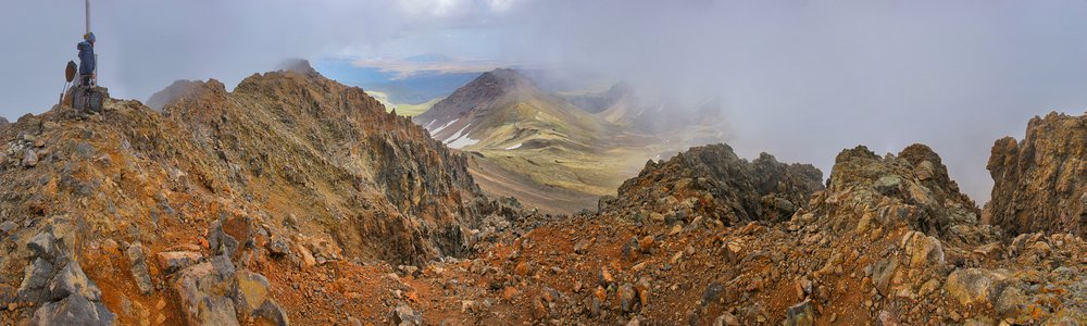
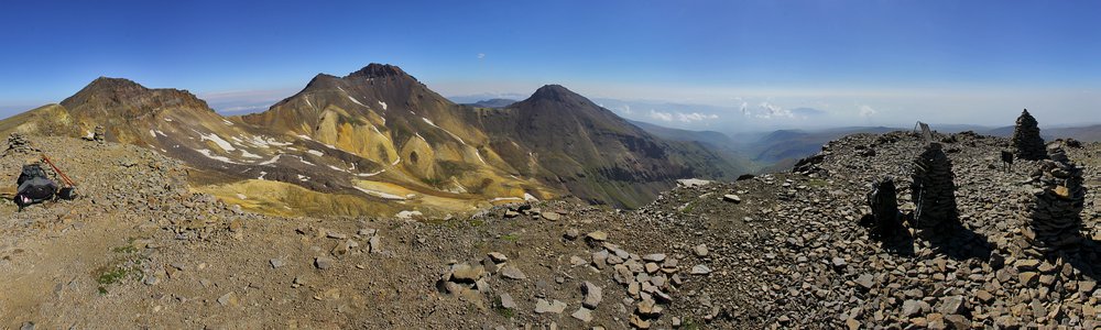
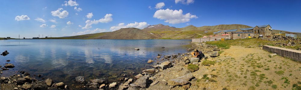
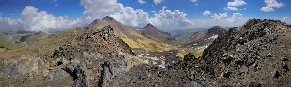
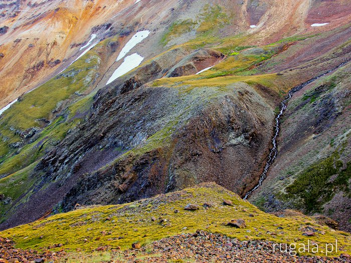
I present the first tourist map of Aragats volcano, Armenia.
- 1:25 000 scale
- GPS grid
- hillshading
- hypsometric tinting
- suggested routes
- various points of interest described
Download
Digital map optimized for desktop viewing:

Aragats - map (JPG, 9921 x 3508 px, 5.5 MB)
Donate
Cost of the map with no watermarking depends on how much you value it. Cost of the printed version to be discussed. If you are interested, please contact me.
Copyright info
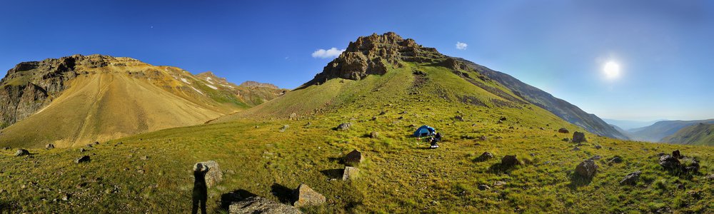
The map of Aragats is based on following resources: my own photos and GPS tracks, Bing aerial imagery, soviet topographic maps from 1973, SRTM model and OpenStreetMap.
Do you like this blog post? Share it with others.
❤
4


")
9 years, 5 months ago
mareczek
Cymes!
9 years, 5 months ago
Marysia
Wow, Adam, nieźle! Podziwiam! Myśmy byli na Aragacu, ale właśnie musieliśmy obejść się bez mapy:) Aż chyba będę musiała się tam wybrać jeszcze raz, żeby skorzystać z Twojej;) Czad!
Leave a comment...