21 May 2016
Marta Rugała, Adam Rugała

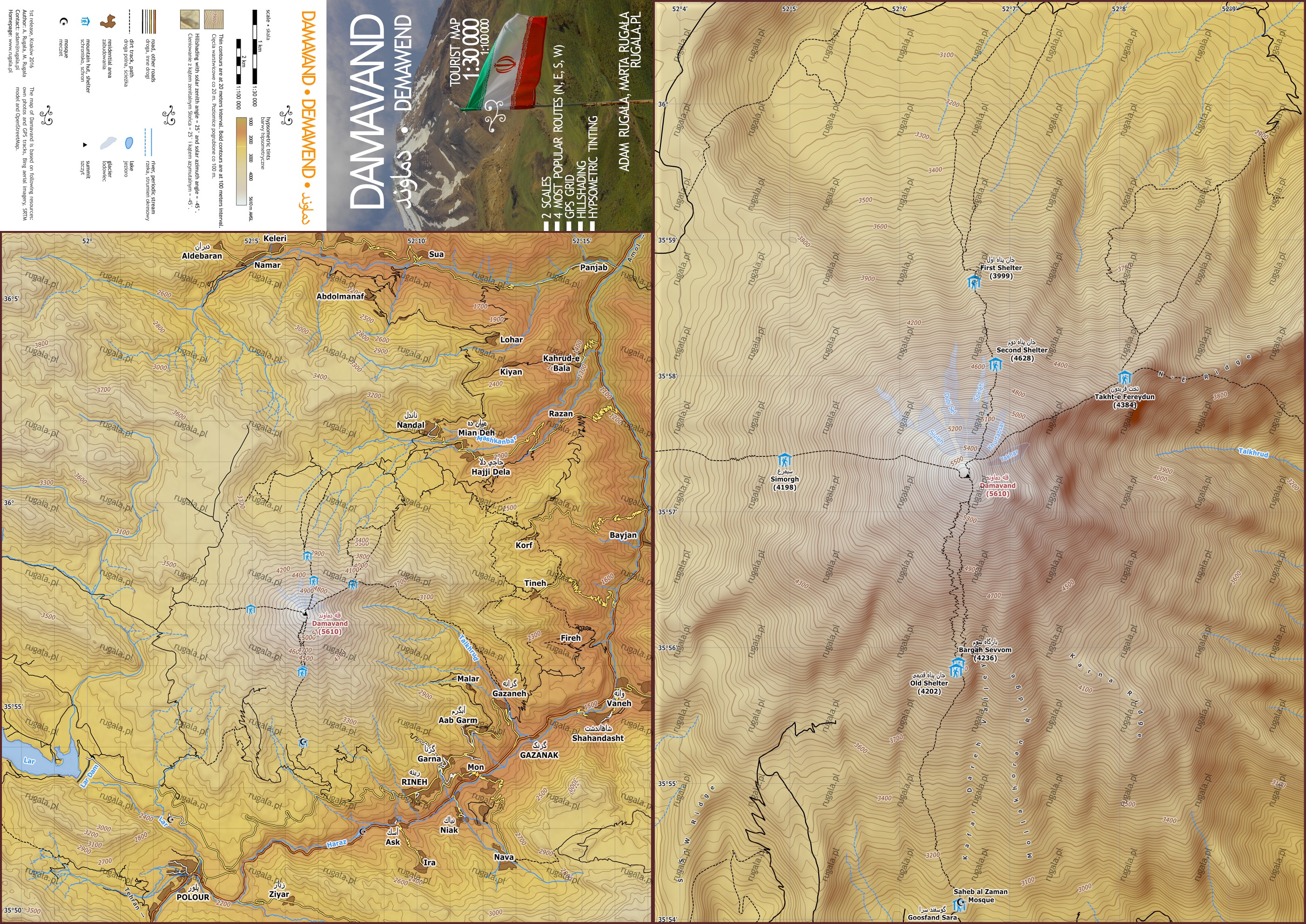
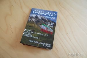
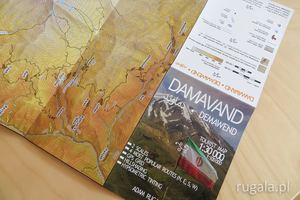
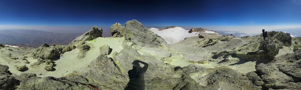
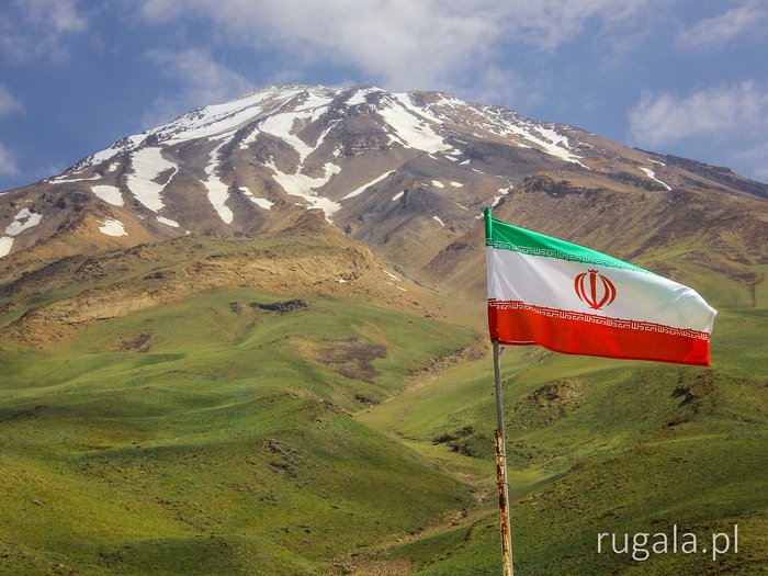
I present a tourist-topographic map of Damavand volcano, Iran.
- 1:30 000 scale (detailed view) and 1:100 000 (preview)
- GPS grid
- hillshading
- hypsometric tinting
- routes
Download
Digital map optimized for desktop viewing:
Damavand - map (JPG, 2806 x 1984 px, 1.9 MB)
Donate
Cost of the map with no watermarking depends on how much you value it. Cost of the printed version to be discussed. If you are interested, please contact me.
Copyright info
The map of Damavand is based on following resources: my own photos and GPS tracks, Bing aerial imagery, SRTM model and OpenStreetMap.
Do you like this blog post? Share it with others.
❤
4


")
8 years, 2 months ago
Marysia Leszko
Rewelacyjna robota!
Leave a comment...