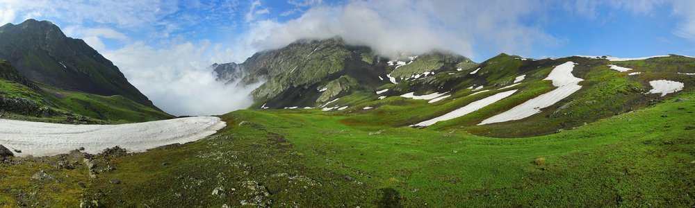
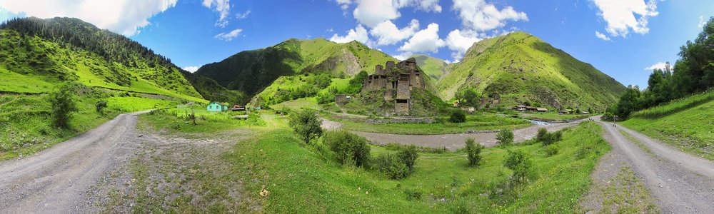
Kalotana Pass (Kalotanisghele) - 2978 m
Countries:

 Map
Map


Peaks:
-
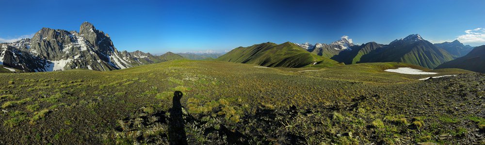
Klitetmaghali — 3171 m
Kaukaz (Кавказ, კავკასიონი, Qafqaz) -
Szuamta — 3171 m
ang. Shuamta
Kaukaz (Кавказ, კავკასიონი, Qafqaz) -
— 3465 m
Kaukaz (Кавказ, კავკასიონი, Qafqaz)
Passes, saddles:
-
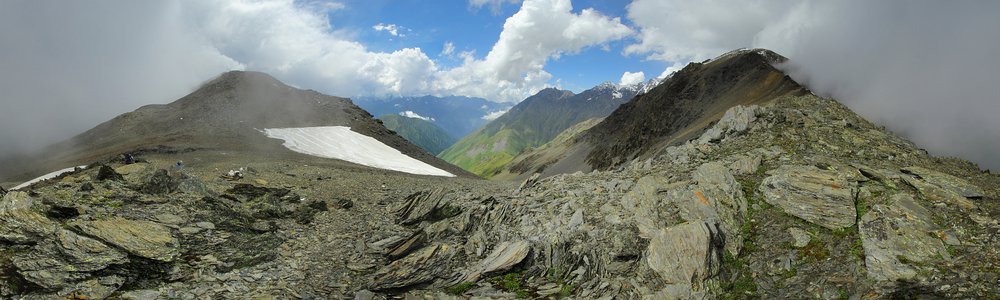
Przełęcz Kalotana — 2978 m
Kalotanisghele
Kaukaz (Кавказ, კავკასიონი, Qafqaz) -
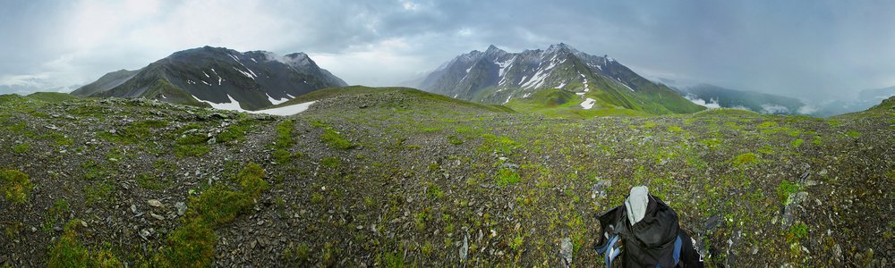
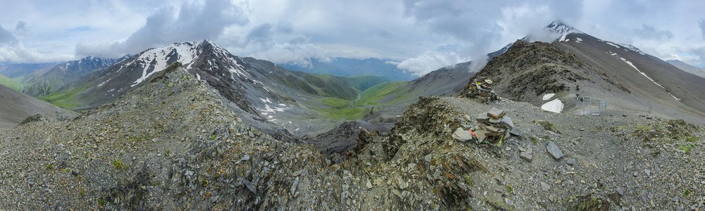
Przełęcz Tanie — 3047 m
ang. Tanie Pass
Kaukaz (Кавказ, კავკასიონი, Qafqaz)
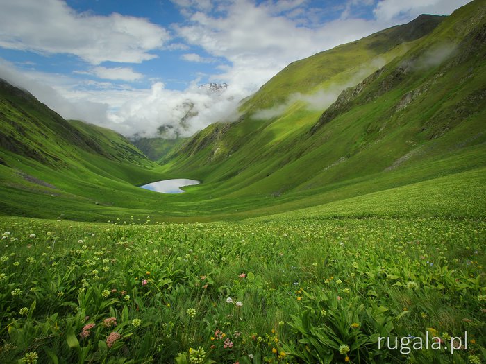
Valleys:
-
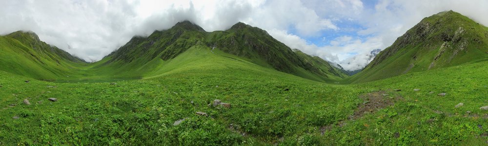
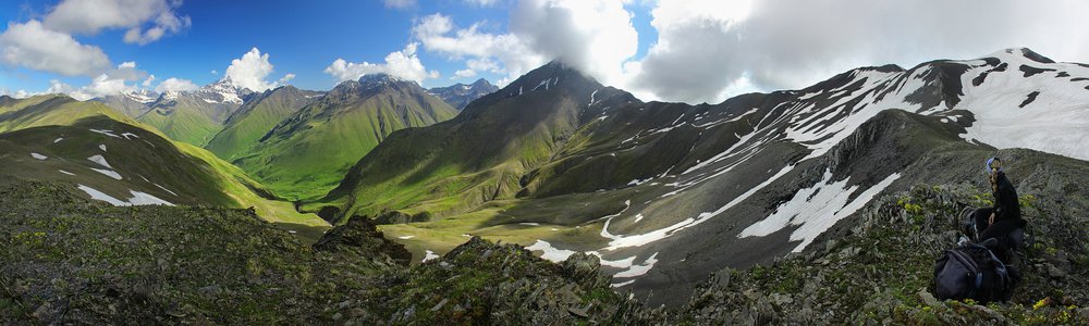
Dolina Kalotana
-
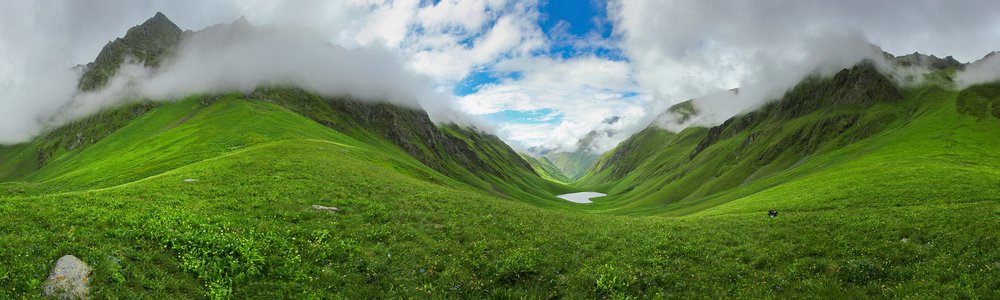
Dolina rzeki Chewsuri Aragwi
ang. Khevsuri Aragvi Valley
Kaukaz (Кавказ, კავკასიონი, Qafqaz) -
Biwak w Dolinie Kalotana
")
")
Leave a comment...