Atsunta - 3431 m
Countries:

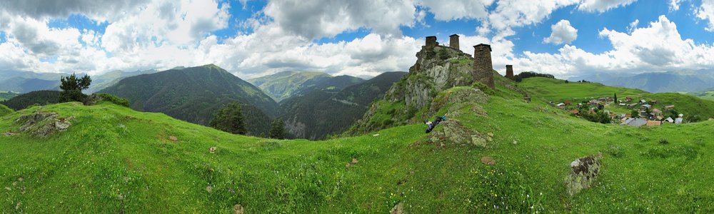
 Map
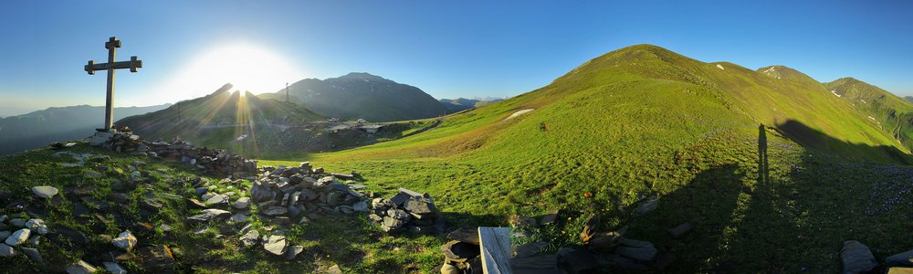
Map


Peaks:
-
Makhosmta — 3682 m
Kaukaz (Кавказ, კავკასიონი, Qafqaz) | dystans: 0.7 km -
Matsiachkort — 3746 m
Kaukaz (Кавказ, კავკასიონი, Qafqaz) | dystans: 5.3 km
Passes, saddles:
Rivers, streams:
-
Charochkisckali
ang. Kharokhkistskali
Kaukaz (Кавказ, კავკასიონი, Qafqaz) -
Kwachidisckali
ang. Kvakhidistskali
Kaukaz (Кавказ, კავკასიონი, Qafqaz)
Leave a comment...