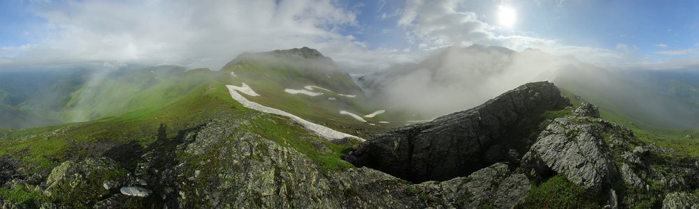
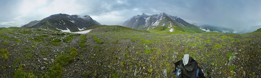
Zagar Pass - 2623 m
Countries:

 Map
Map


Peaks:
-
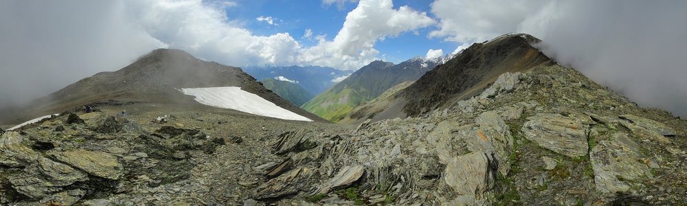
Koruldaszi — 3085 m
ang. Koruldashi
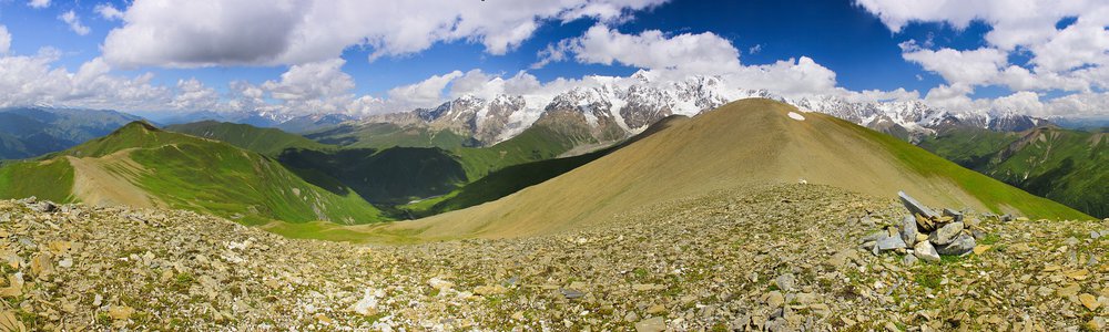
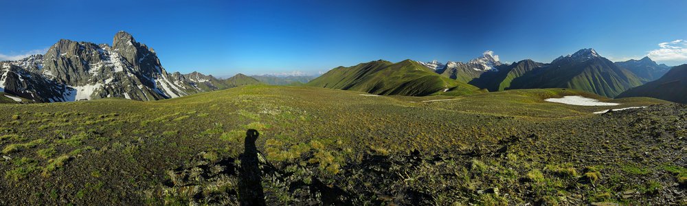
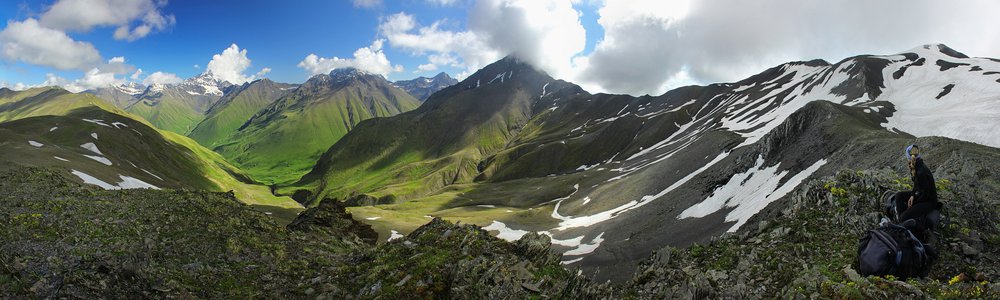
Kaukaz (Кавказ, კავკასიონი, Qafqaz) -
Lamalialesgora — 2980 m
Kaukaz (Кавказ, კავკასიონი, Qafqaz)
Trails, paths:
-
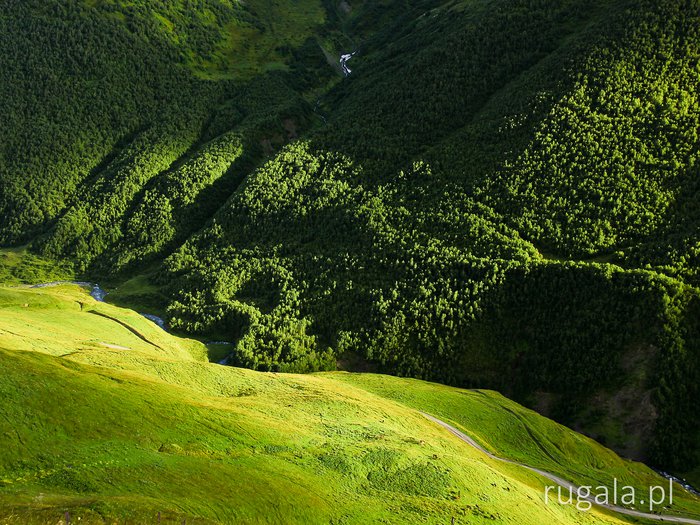
Droga do Uszguli
Kaukaz (Кавказ, კავკასიონი, Qafqaz) -
Droga do Lentechi
Kaukaz (Кавказ, კავკასიონი, Qafqaz)
")
")
")
Leave a comment...